
Incident geo-mapping
Aggregate open-source and field-reported incidents into time-bounded heatmaps at LGA and ward level.
Security-risk intelligence for elections held in conflict-affected states — overlaying incident data on polling unit reach and turnout history.
Aggregate open-source and field-reported incidents into time-bounded heatmaps at LGA and ward level.
Score each polling unit on accessibility and risk to inform materials deployment, observer placement and contingency planning.
Quantify the historical relationship between security incidents and turnout deltas to forecast at-risk units.
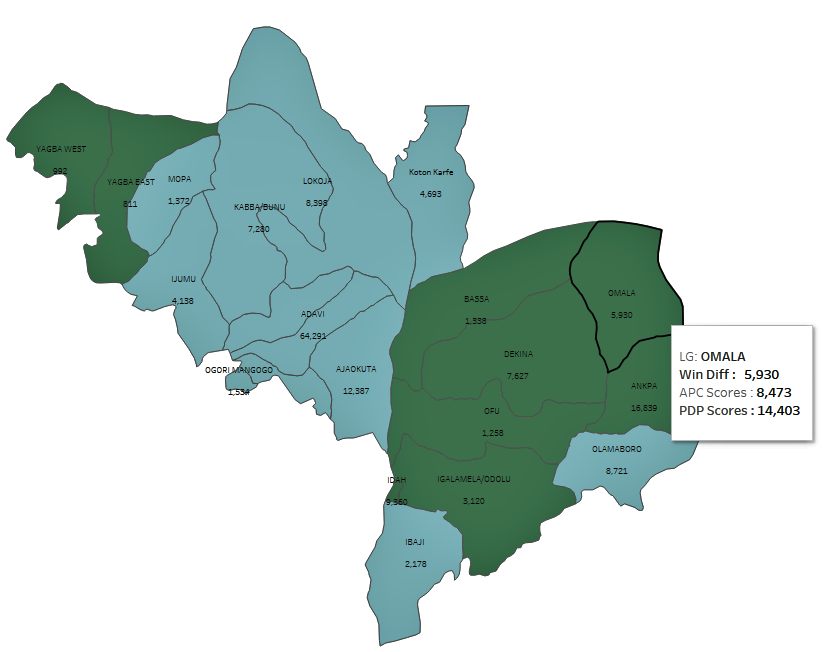
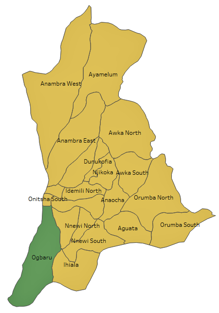
Data compiled from INEC voters register and results portals, 2011–2019 election cycles.